Breithorn (Lauterbrunnen)

Alps - Map of Breithorn (Lauterbrunnen)

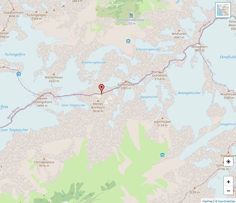
The Breithorn in Lauterbrunnen, Switzerland, is a majestic mountain in the Bernese Alps. Standing tall at 3,780 meters, it straddles the border between the cantons of Bern and Valais. This alpine marvel is nestled at a significant point, marking the boundary between the Lauterbrunnental and the Lötschental valleys. It is an impressive sight, positioned halfway … Read more

Pointe de Zinal

Alps - Map of Pointe de Zinal

Perched elegantly in the Swiss Pennine Alps, the Pointe de Zinal is a majestic mountain rising to 3,789 meters. It is located in the canton of Valais, just south of the charming village of Zinal. This stunning peak enjoys a picturesque setting east of the renowned Dent Blanche, nestled between the Zinal and Zmutt valleys. … Read more

Schinhorn

Alps - Map of Schinhorn

Nestled in the heart of the Bernese Alps, the Schinhorn stands as a majestic peak in the canton of Valais, Switzerland. Towering at an elevation of 3,797 meters, it presents a stunning vista, sandwiched between the valleys of Lötschental to the north and Oberaletsch to the south. A subsidiary to the imposing Aletschhorn, the Schinhorn … Read more

Grossglockner

Alps - Map of Grossglockner

The Grossglockner, Austria’s tallest mountain, soars to a height of 3,798 meters above the Adriatic, making it a prominent feature in the Eastern Alps. Part of the Glockner Group within the expansive Hohe Tauern range, it stands along the Central Eastern Alps’ main ridge, marking a significant point in the Alpine divide. The mountain is … Read more

Le Râteau

Alps - Map of Le Râteau

Le Râteau, a notable peak in the Massif des Écrins of the French Alps, stands majestically at an elevation of 3,809 meters (12,497 feet). This mountain, with its unique and striking appearance, is located in the Hautes-Alpes department of France. Its name, translating to “The Rake” in English, fittingly describes its resemblance to a rake … Read more

Aiguille des Glaciers

Alps - Map of Aiguille des Glaciers

The Aiguille des Glaciers, standing at 3,816 meters (12,520 feet), is a prominent mountain within the Mont Blanc massif, located at the convergence of Savoie and Haute-Savoie in France and the Aosta Valley in Italy. Known for its striking pyramidal shape, especially when viewed from the south on the Italian side, it beautifully dominates the … Read more

Mont Dolent

Alps - Map of Mont Dolent

Mont Dolent, standing at an elevation of 3,823 meters (12,543 feet), is a distinct peak in the Mont Blanc massif, uniquely positioned at the confluence of three nations – Italy, Switzerland, and France. Notably, the mountain itself serves as a tripoint for these countries, with the exact junction lying just below its summit at 3,749 … Read more

Nesthorn

Alps - Map of Nesthorn

The Nesthorn, a magnificent mountain in the Bernese Alps, stands proudly at an altitude of 3,822 meters. Located in the Swiss canton of Valais, it presents a grand sight north of Brig. This alpine giant is beautifully positioned between the Oberaletsch Glacier to its north and east, and the serene Gredetschtal to the south. It … Read more

Aiguille du Chardonnet

Alps - Map of Aiguille du Chardonnet

Nestled in the Mont Blanc massif in Haute-Savoie, France, the Aiguille du Chardonnet stands tall at 3,824 meters. This striking peak is situated between the Glacier du Tour and the Argentière Glacier, near the French-Swiss border. Its summit, first reached on September 20, 1865, by R Fowler, M Balmat, and M Ducroz, is a beacon … Read more

Brunegghorn

Alps - Map of Brunegghorn

The Brunegghorn, soaring at an elevation of 3,833 meters, is a prominent feature of the Pennine Alps in Switzerland. Located within the Valais canton, this mountain is an integral part of the majestic Weisshorn group. It is distinguished by its significant prominence of 306 meters, offering a challenging ascent for mountain enthusiasts. The Brunegghorn oversees … Read more